




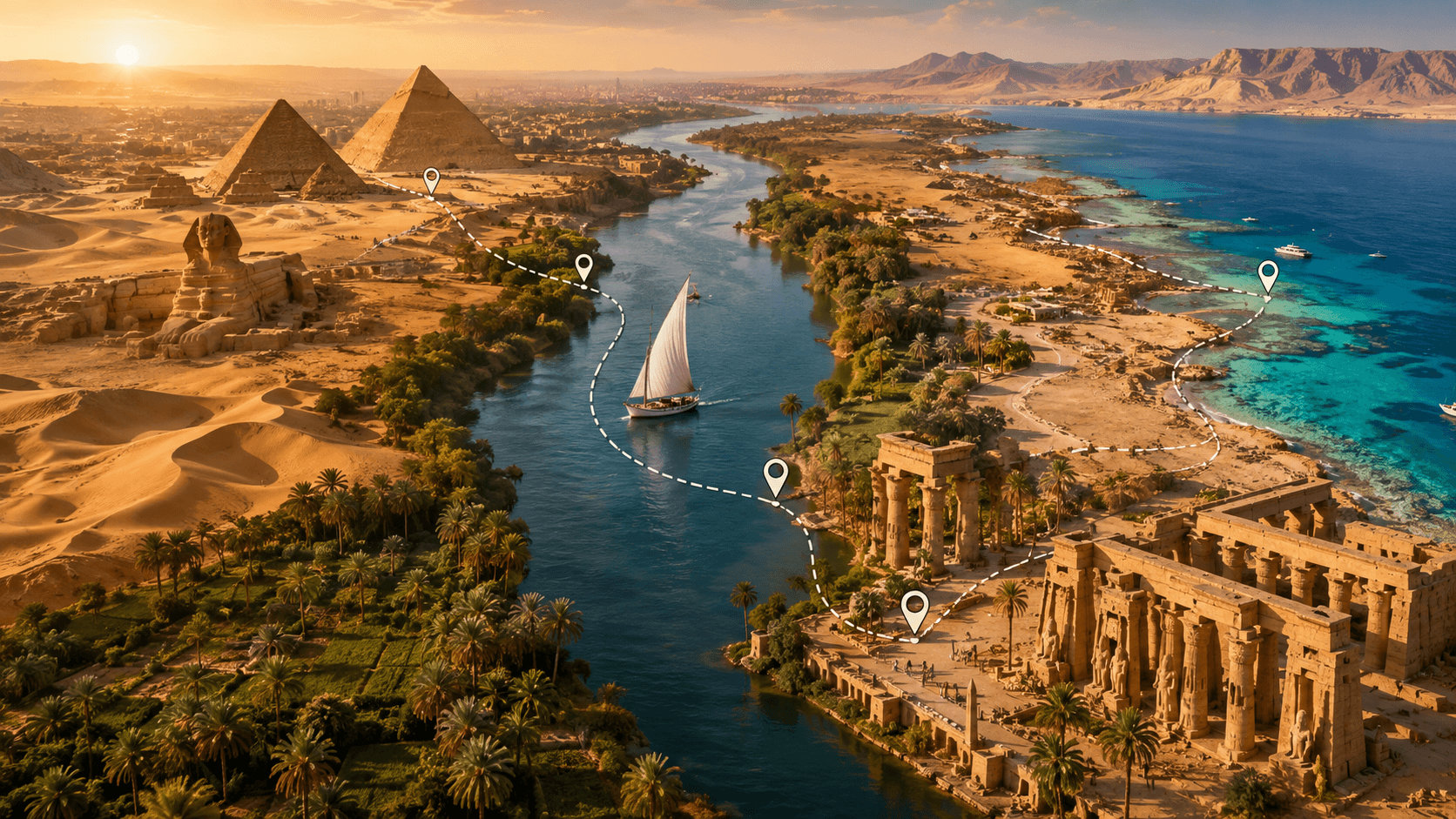
 Egypt Interactive Map
The Northern Gateway: Cairo, Giza, and Alexandria
Egypt guards some of the oldest structures on earth, physical relics spanning over five millennia of human society. Crossing this desert terrain demands a firm grasp of geographic realities and transit links. Travelers who wish to see these structures should Explore Egypt by Map: Top Destinations, Attractions & Travel Routes to map their routes with confidence.
This layout functions as a geographic scheme for navigating a massive historic landscape. It maps out key distances and stops.
As you Explore Egypt by Map: Top Destinations, Attractions & Travel Routes, Cairo and Alexandria show up as the primary northern gateways. Cairo receives the vast majority of international flights. Positioned where the Nile Delta opens up, it forms a natural base for heading north to the sea or south into the valley.
Giza borders the western edge of the capital, holding the famous tomb complexes. The Great Pyramid rises 138.5 meters into the desert sky.
It stands alone as the final intact wonder of the ancient world.
Heading north from the capital takes you to Alexandria, a Mediterranean harbor city established by Alexander the Great. This coastal hub rests about 220 kilometers from Cairo along the desert highway.
- The Giza Plateau, home to the Great Sphinx and the three main pyramids.
- The Grand Egyptian Museum, which houses the complete Tutankhamun collection.
- The Citadel of Saladin, offering panoramic views of the Cairo skyline.
- The Bibliotheca Alexandrina, a modern tribute to the ancient Great Library.
Navigating the Nile: Luxor and Aswan
Following the Nile south brings you straight into the core of ancient Upper Egypt. This valley contains a dense concentration of stone temples and hidden rock-cut tombs. When going south, you should Explore Egypt by Map: Top Destinations, Attractions & Travel Routes to bridge Luxor’s historic monuments with the river vistas of Aswan.
Luxor sits around 650 kilometers south of Cairo, split in two by the wide river. The East Bank holds the modern town and giant temple complexes. Across the water, the West Bank holds the silent necropolis.
The West Bank houses the Valley of the Kings. Researchers there have uncovered over 60 ancient royal chambers carved deep into the limestone.
How to Explore Egypt by Map: Top Destinations, Attractions & Travel Routes
A smart method to Explore Egypt by Map: Top Destinations, Attractions & Travel Routes involves dividing your path into distinct geographic regions. Traveling another 220 kilometers south brings you to Aswan, a quiet border city marked by granite boulders and Nubian villages. Aswan acts as the starting point for desert journeys to Abu Simbel near the southern border.
- Karnak Temple Complex, the largest ancient religious site ever built.
- The Valley of the Kings, featuring the highly preserved tomb of Seti I.
- The Temple of Philae, rescued from flooding and reconstructed on Agilkia Island.
- Abu Simbel Temples, carved directly into a sandstone cliff during the reign of Ramesses II.
Coastal Escapes and Western Desert Oases
Egypt reaches far past the wet banks of the Nile into wide desert wastes and rich marine parks. The eastern edge hosts the Red Sea coast, famous for clear waters and popular diving reefs. Travelers who Explore Egypt by Map: Top Destinations, Attractions & Travel Routes will see how the blue sea contrasts with the dry tombs of the valley.
Hurghada and Sharm El-Sheikh act as the main coastal bases across the Gulf of Suez. Sharm El-Sheikh provides quick access to Ras Mohammed, where steep underwater walls fall past 800 meters. Out west, the deep desert hides quiet springs that show a different side of the landscape.
Siwa Oasis lies about 750 kilometers by road west of Cairo near the border with Libya. It remains known for its salt pools and old olive groves.
- Ras Mohammed National Park, featuring diverse marine life and pristine coral walls.
- The White Desert National Park, famous for its wind-carved chalk rock formations.
- Siwa Oasis, home to the historic Temple of the Oracle of Amun.
- Giftun Island, offering sandy beaches and shallow snorkeling reefs near Hurghada.
Travel Logistics and Regional Itineraries
Choosing your route depends on how many days you have and what you want to see. A classic ten-day trip usually sticks to the central Nile path between Cairo, Luxor, and Aswan. To prevent travel exhaustion, wise visitors Explore Egypt by Map: Top Destinations, Attractions & Travel Routes prior to scheduling train rides or local flights.
| Route Segment | Distance / Travel Mode | Recommended Duration |
|---|---|---|
| Cairo to Alexandria | 220 km (Train / Car) | 1 to 2 Days |
| Cairo to Luxor | 650 km (Flight / Sleeper Train) | 3 to 4 Days |
| Luxor to Aswan | 220 km (Train / Nile Cruise) | 2 to 3 Days |
| Cairo to Siwa Oasis | 750 km (Private Vehicle) | 3 Days |
Night trains and short flights link the northern capital to the southern stone ruins. A flight from Cairo to Aswan takes about eighty minutes, saving you hours on the road. Combining ancient temples with beach relaxation works best when mixing transit types.
You can fly from Cairo to Luxor, then hire a private driver to cross the hills to Hurghada on the coast.
Final Route Tips
Getting around this country requires balancing your time between sightseeing and transit. Understanding the geography makes for a smoother trip across desert sands and busy towns. Group your stops into regional clusters to avoid doubling back on your route.
When you Explore Egypt by Map: Top Destinations, Attractions & Travel Routes, you open up a clear path through history, local life, and coastal retreats. Good planning turns a complex trip into a smooth and memorable journey.


Comments are closed